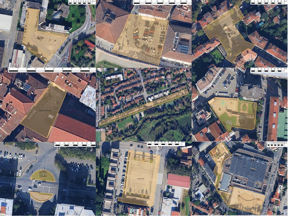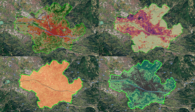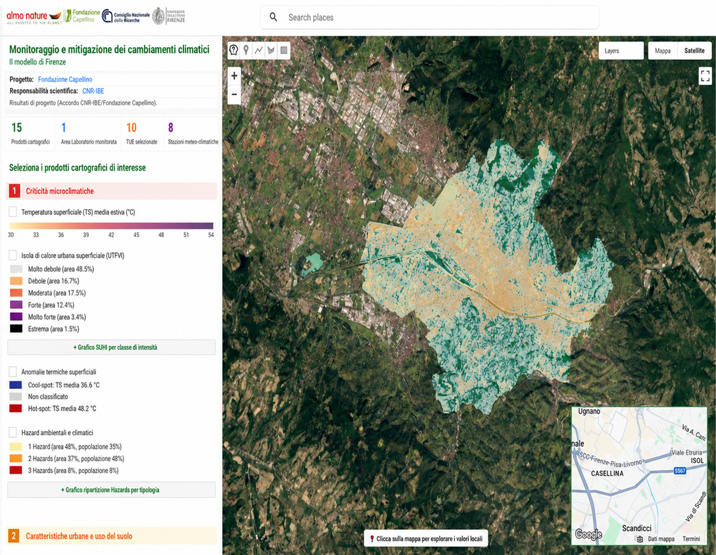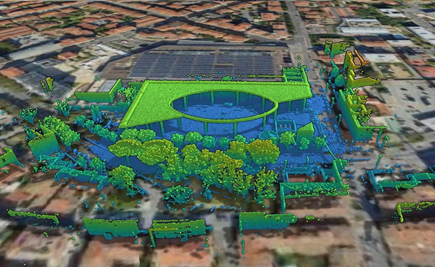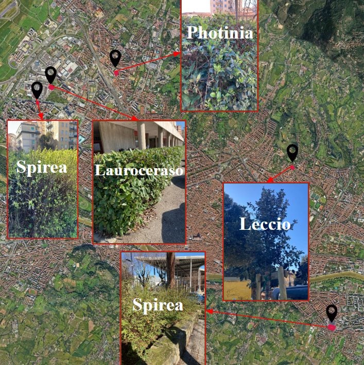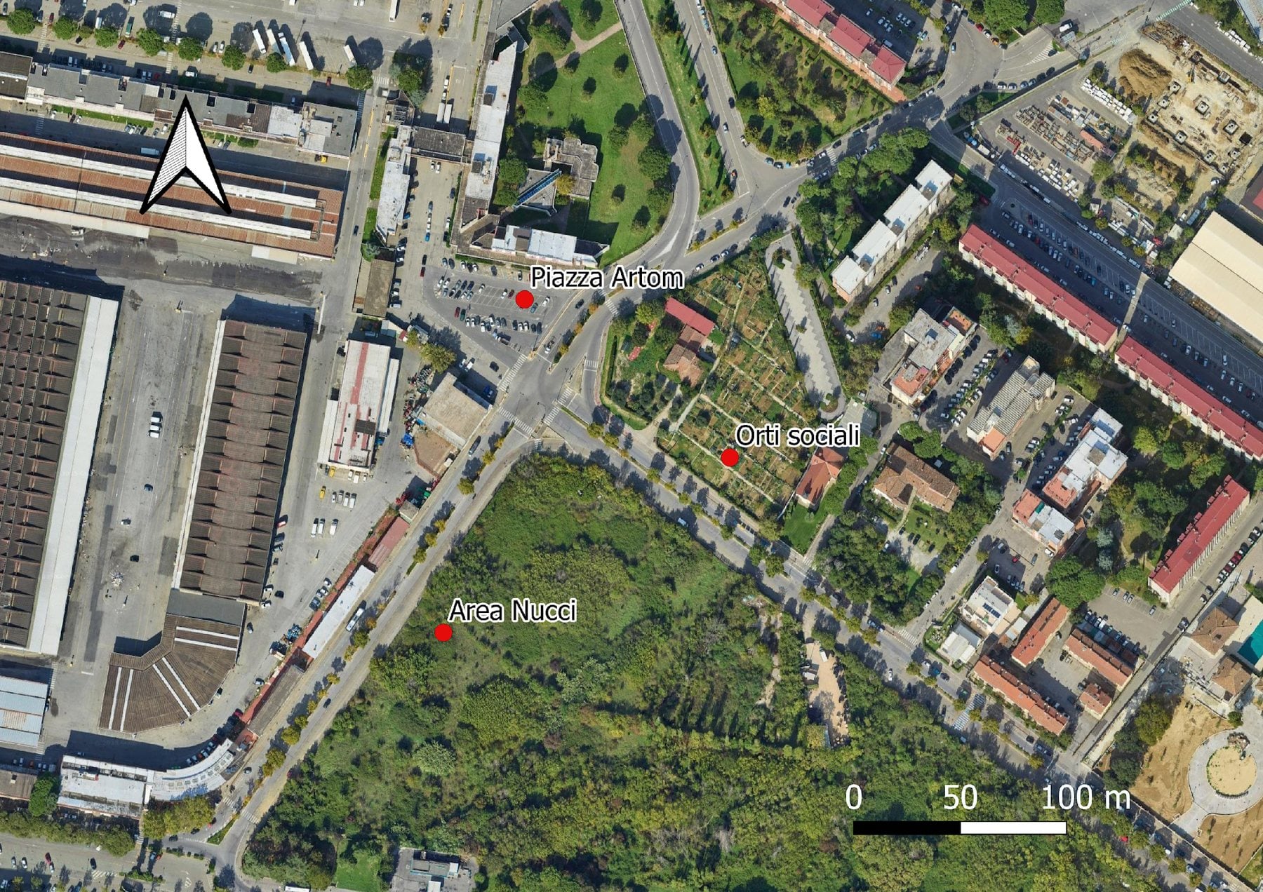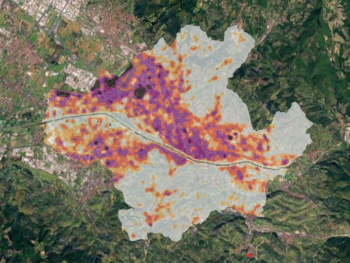
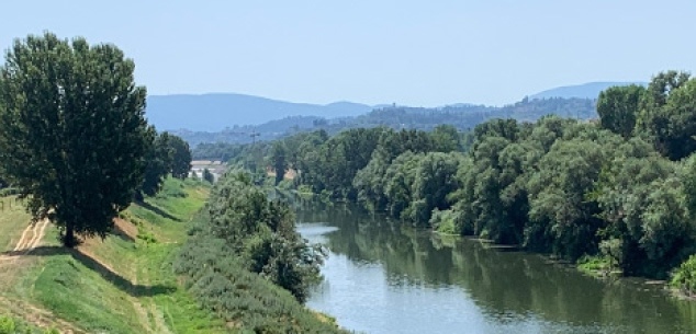
Area of intervention
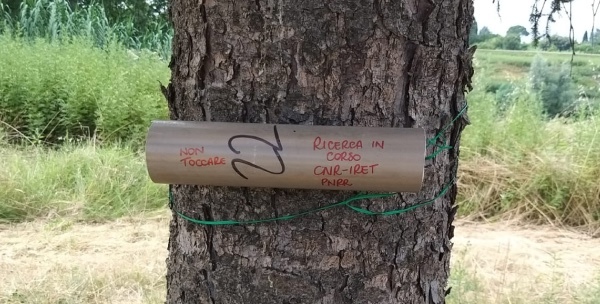
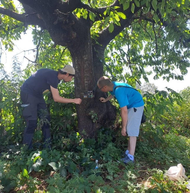
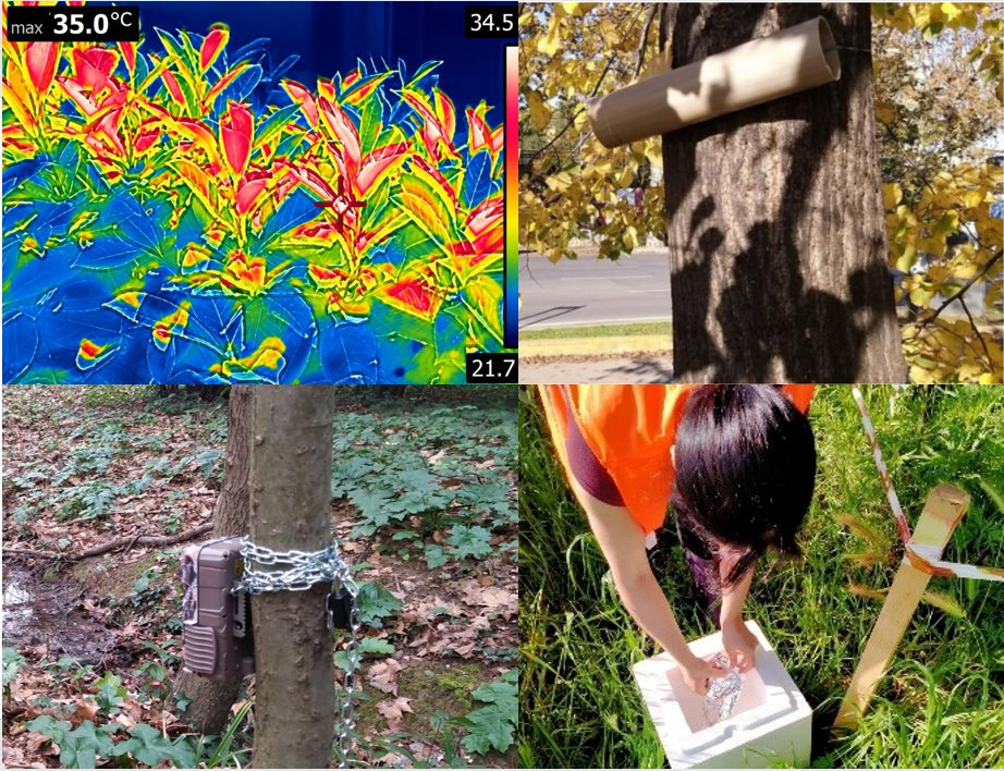
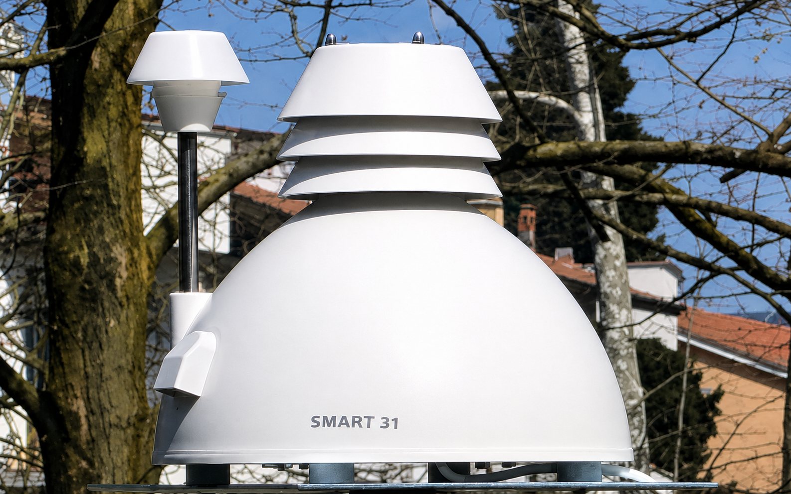
For these reasons Fondazione Capellino has launched a project in Florence that, for the first time, puts innovative nature-based solutions to the test in the field. Their impacts are measured over time with methodical rigour, allowing the project to serve as a model that can be replicated and adapted in other European cities.